A Virtual Tour of the Gorge at Buttermilk Falls State Park | ||
x | ||
|
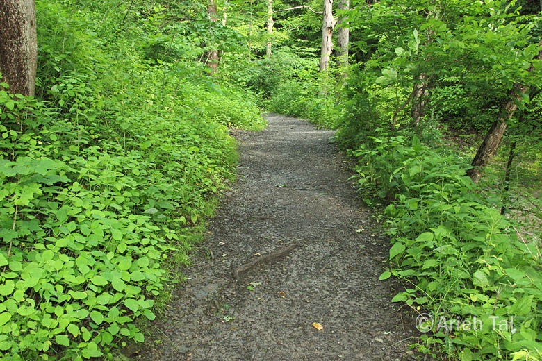
This stretch of the gorge
trail is close to King Road. Your hike began at a portion of the gorge
trail that was highly disturbed due to trail construction and maintenance
over the years. Similarly, your hike will conclude at another disturbed area.
This flat section of the trail supports a high diversity of plant species;
a cosmopolitan assemblage of native and introduced species, that flourish
here due to a somewhat thinner tree canopy. Compared with other sections
of the gorge trail, this section appears rather weedy. |
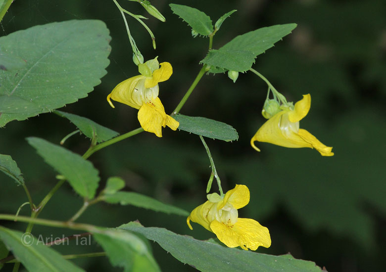
One such weedy
species which has become prevalent along this stretch of the trail, is a
native annual called, pale yellow touch-me-not. It is so named
because its ripe seed capsules will instantly split open if touched,
forcefully expelling its seeds in all directions. (Another name for
this species is, pale yellow jewelweed.) x |
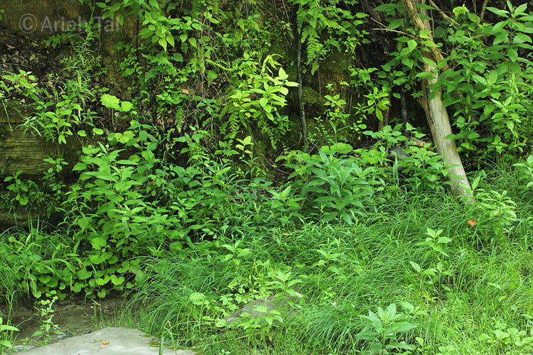
The north bank of
the creek is quite different in terms of ecology and species
composition. Rich, moist ledges, carpeted with shrubs, ferns and
wildflowers, line the creek along the north bank. Below the ledges, just
above normal, low water levels, can be found a diversity of wetland
species. These river bars, though more natural plant communities, are
nevertheless affected by disturbance during and after storms. Strong
currents often sweep away much of the vegetation close to the water's
edge. x |
.
Images and text copyright Arieh Tal, 2017-2022. All rights reserved. ( Terms of use )